Loading story...

Sponge Made of Stone
As told by
Plinio Guzman
Photos by
Benjamin Soto
How water moves, holds, and fails in Cuatro Ciénegas
January 18, 2026
How water moves, holds, and fails in Cuatro Ciénegas
January 18, 2026
Loading story...
Loading story...
At La Becerra, the damage does not present itself as a single factor.
From above, sediment gathers where flow was once clear. Tule presses toward the water’s edge. Old channels remain visible even where water no longer moves through them as it once did.
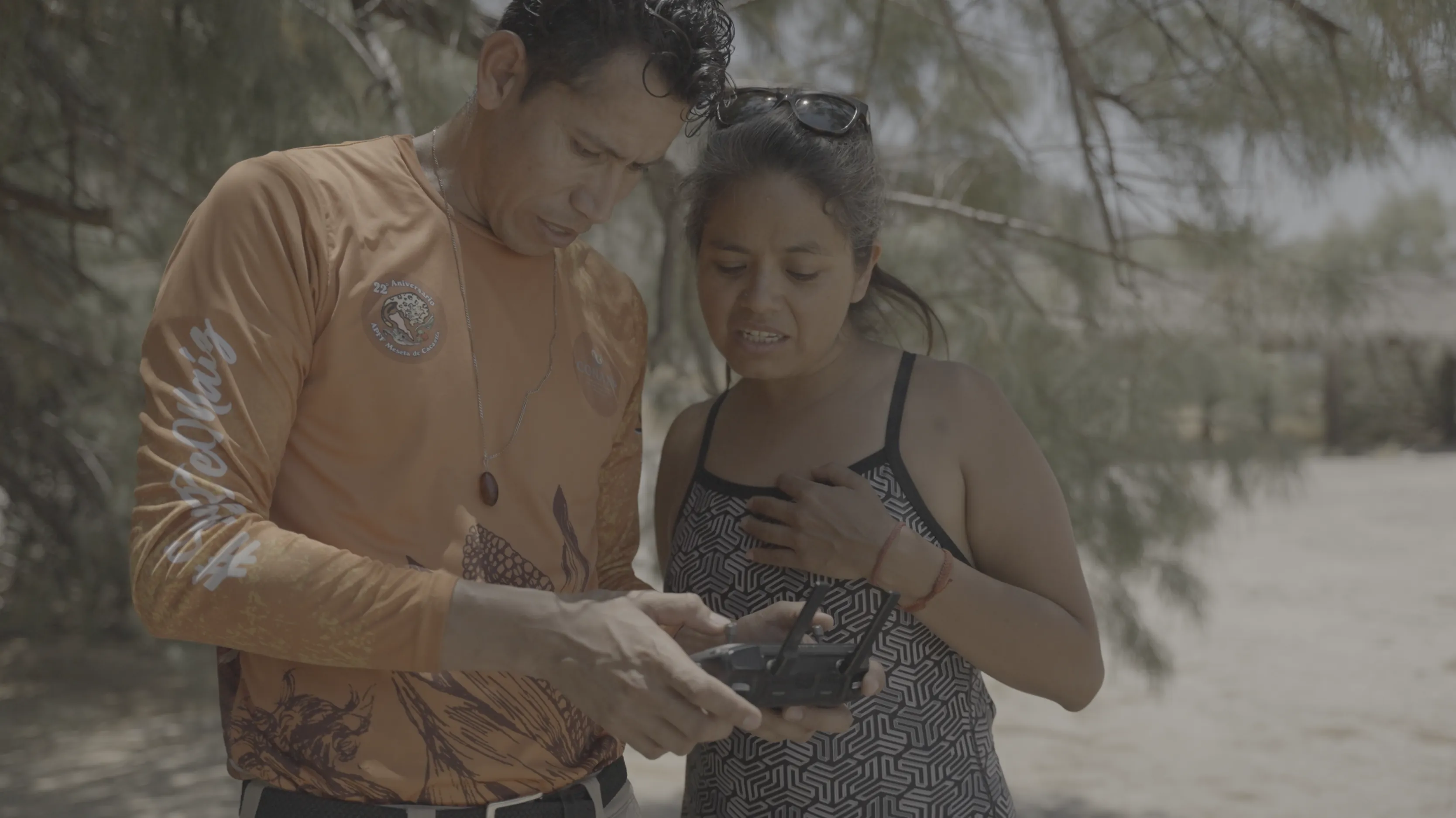
Next to him, Dr. Maribel Hernández prepares to sample water at the grieta, the fissure through which part of the basin still reveals its hidden movement.
“A chemical analysis will give us clues,” she says, “about the source of water that propagates from La Becerra toward the rest of the basin.”
The question is not only what this lagoon looks like. It is where its water goes, and what else it touches on the way.
.jpg&w=3840&q=75)
The lagoon is closed to the public now. Years ago, people came here to swim and camp. The afterlife of that mismanagement remains in the sediment and along the margins.
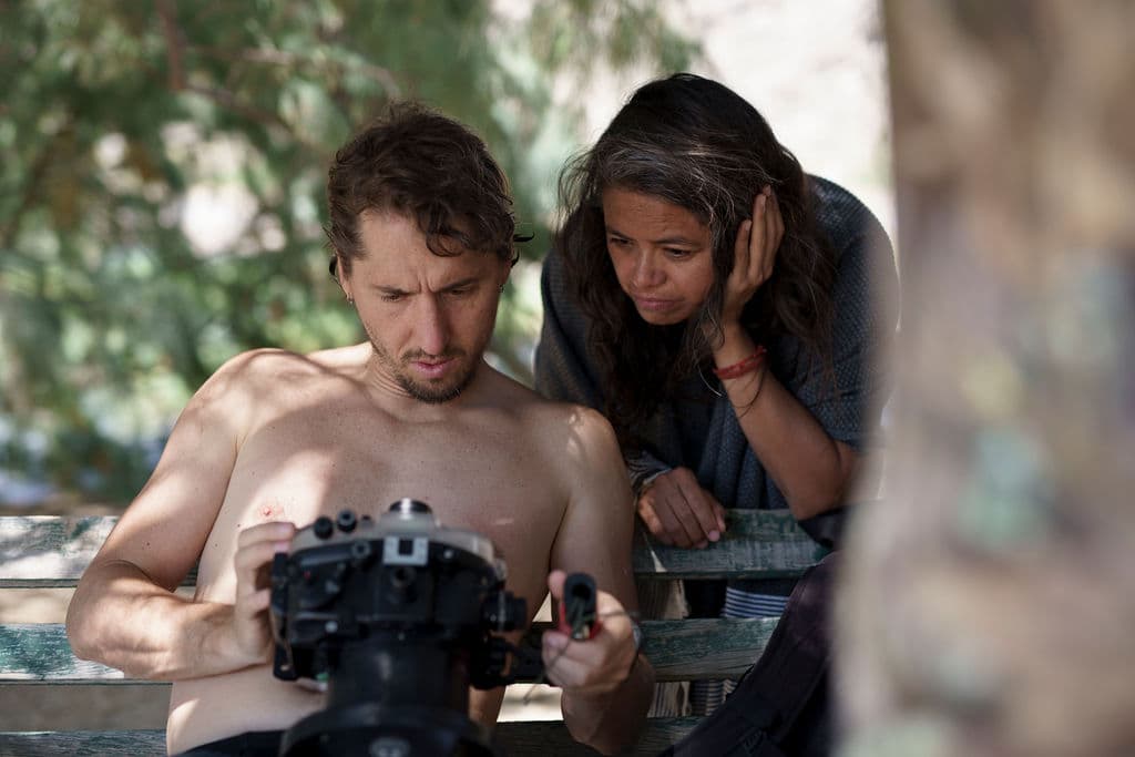
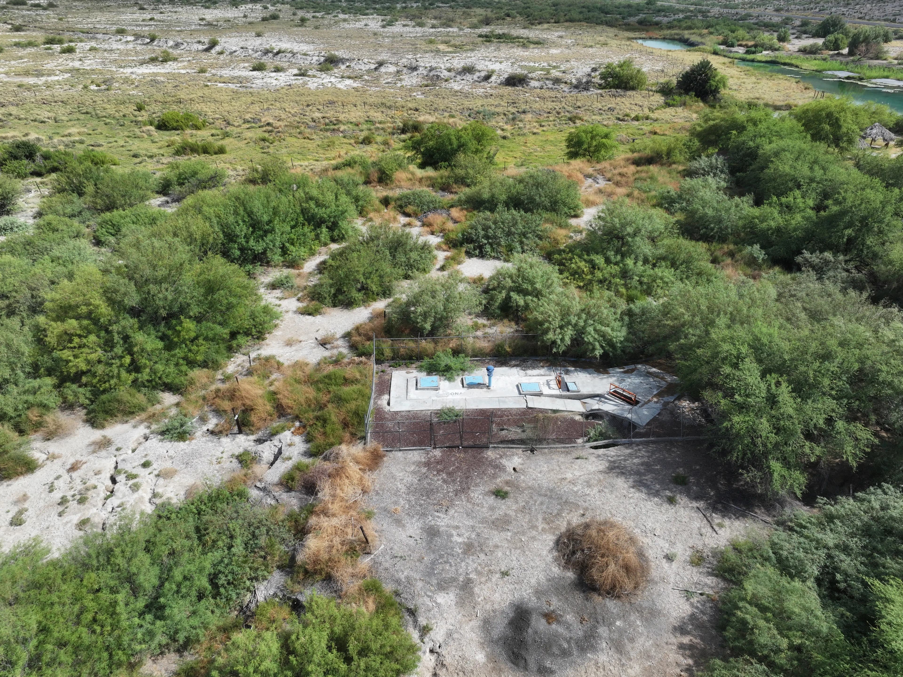
As the blazing sun begins to yield, near a fenced pump where sinkholes have formed, structural geologists Dr. Mariano Cerca and Dr. Vania Ferrer from Mexico City's UNAM university move across the ground with instruments and GPS points.
They do not speak about the desert floor as if it were solid. They speak about it as a sponge.
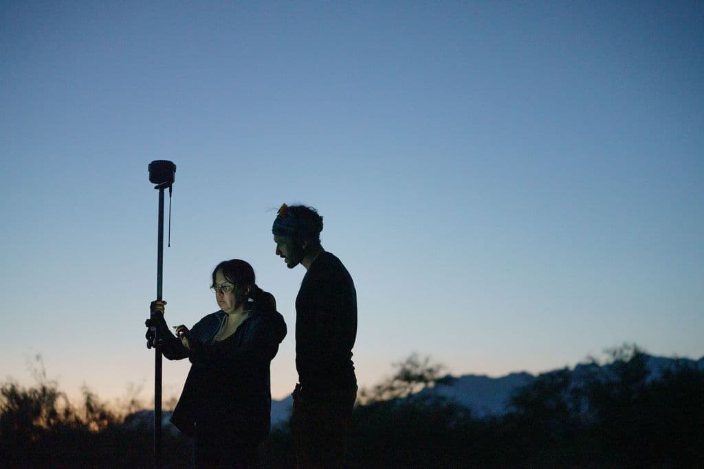
Water moves through voids in carbonate rock below the surface, dissolving, spreading, lingering, reappearing through fractures and openings that do not always register above ground. Surface observation can mislead. The basin looks broken into sites. Underground, it is still one structure.
That hidden structure belongs to deep time. Some of the basin’s microbial communities recall older metabolic worlds, when life relied on slower chemistries before oxygen dominated Earth’s atmosphere. The point is not romance. It is fragility. This place held because change came slowly enough for structure and life to remain in balance.
When change accelerates, that balance does not simply lose water. It loses support.
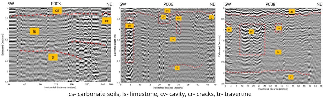
To glimpse at the underground, Vania pushes a ground-penetrating radar across the surface, producing radargrams that turn hidden fractures and cavities beneath Poza La Becerra into readable charts.
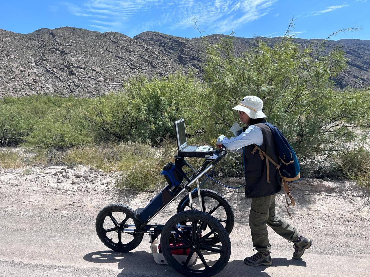
The jumbled bands in the radargram are the hidden shape of the ground speaking back: marking fractures, voids, and softer layers where the basin’s stone begins to give.
Most change in this valley happens across distance and out of sight.
That is why 3D models matter here. They sharpen relationships that flat photographs blur: sinkholes near pumps, shifting shorelines, sediment buildup, subtle changes in elevation that suggest the ground itself is beginning to sag.
.jpg&w=3840&q=75)
“As long as the sponge stays wet, it holds,” Mariano says. “When cavities empty, support weakens.” Vania is blunter: “Once the structure collapses, you don’t just put the water back.”
That changes the meaning of restoration. A low water level is not only a symptom at the surface. It can be evidence that something structural below has already begun to fail.
CONANP can clear reeds, install geomembranes, redirect flow, and stabilize sediment at vulnerable points. Those actions matter. They can preserve motion where motion still exists.
But repair here cannot carry the basin alone.
La Becerra feeds a larger system that has long been asked to support more demand than it can sustain. Water leaves through rock, but also through economics: crops that require flooding, supply chains that reward volume, and livelihoods organized around the assumption that extraction can continue.
That is why the question here is larger than whether a fissure can be cleaned or a leak can be slowed. It is whether life above ground can be reorganized around the limits of the structure below it.
The fractures do not end in stone.
By 2020, the effort to restore parts of the basin was nearly overtaken by another set of breaks: between farmers, scientists, agencies, business owners, and the different futures each group was defending. Closing La Becerra to the public was one intervention. Holding the basin together will require another kind.
Back in the CONANP office, the digital models show more than terrain. They show a hidden structure becoming visible just as that structure grows less secure.
The next fissures are social.
.jpg&w=3840&q=75)
Photo Gallery