Loading story...

Satellite Archives
As told by
Plinio Guzman
Photos by
Benji Soto
Evidence from above
Evidence from above
Loading story...
Twenty kilometers from Churince, Fernando Gloria stands inside the CONANP office, looking at the same basin from a different distance.
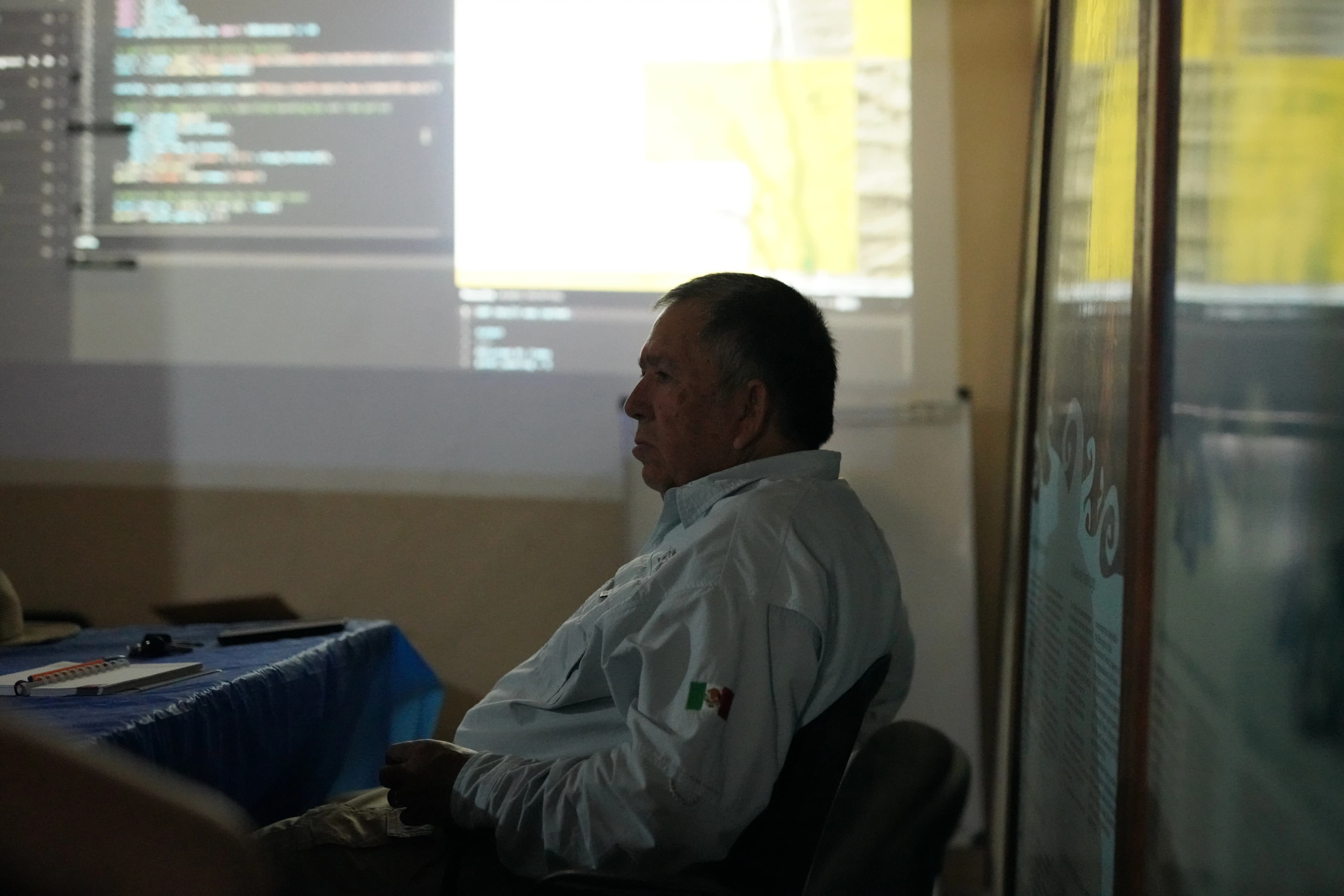
Talking with his team as he shows data on the projector screen, Cristino Villarreal moves through a time series assembled from satellite imagery and field measurements. Moisture signatures dip, recover only partly, then settle lower than before. Around them: pale desert, green agricultural plots, scattered blue.
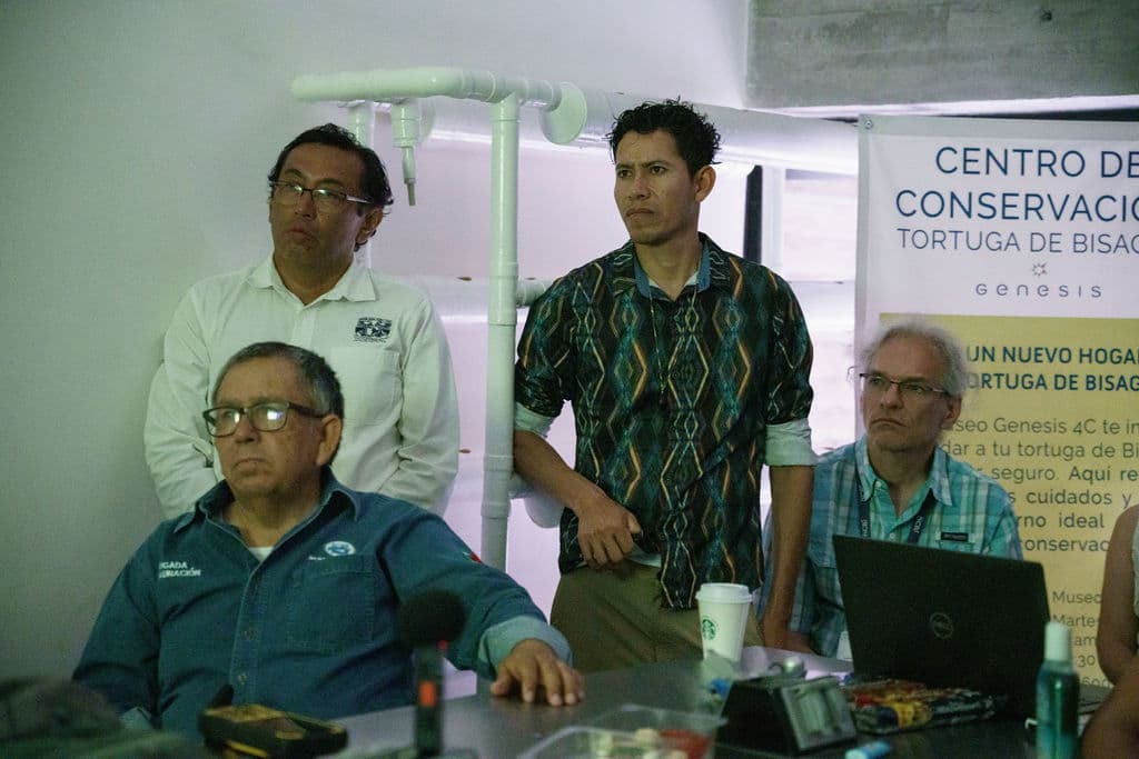
The room does not react all at once. People lean closer. They begin placing the patterns against what they already know from the valley: pumping seasons, partial rebounds, closed wells, the sense that the basin still gives, though not as before.
Fernando’s field data measures in centimeters. The satellite record measures in kilometers.
“For me, these images hit harder than any chart,” Cristino says. “You can see how crops spread while wetlands vanish.”
What feels slight at the shoreline begins to look harder to dismiss from above.
On the screen, Laguna Churince holds its shape for years, then narrows. Marsh gives way to pale ground. By 2016, the blue is gone.
At the waterline, change can feel local. A bad year. A dry spell. A temporary retreat. From above, the eye loses that comfort.
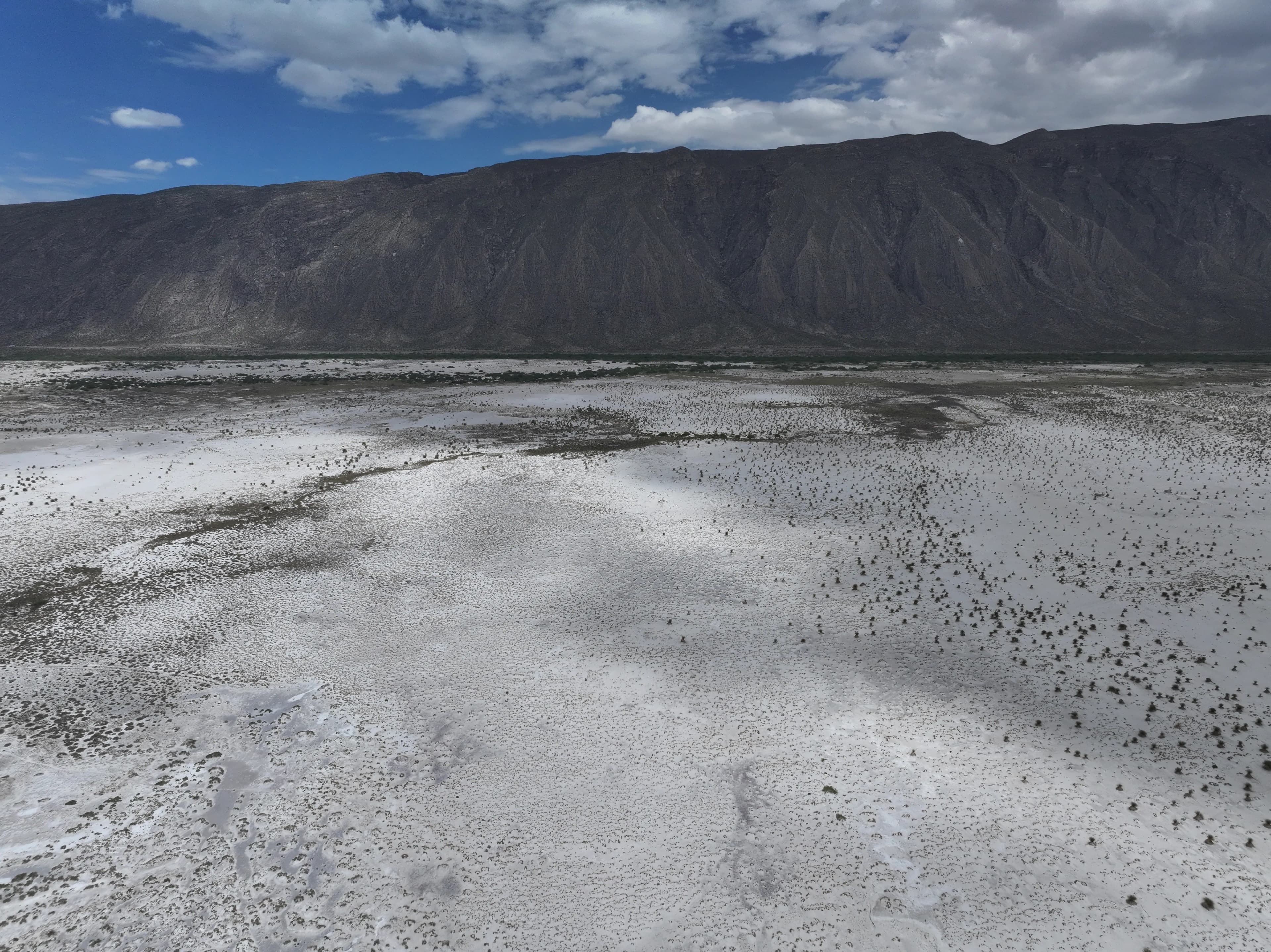
A satellite does not photograph a lagoon alone. It photographs relationships: spreading cropland, shrinking wetlands, fading moisture, channels losing continuity. One part of the valley changes beside another. The image holds them in the same frame whether people do or not.
These archives were not started with Churince in mind. That is part of their force. Landsat and other constellations kept passing overhead long before this basin needed evidence. Now the record exists anyway: image after image, indifferent, cumulative, hard to argue with.
The satellite record is long by human standards and short by the basin’s.
Cuatro Ciénegas functioned for millennia as a confined desert wetland shaped by carbonate rock, mountain isolation, and slow hydrologic exchange. The balance was narrow, but it held long enough for rare life to adapt to it.
Other archives reach deeper than satellites. Stromatolites standing above current waterlines suggest higher water in the past. Dry channels in the dunes mark flow where sand now lies. These are not just traces of seasonal fluctuation. They point to a system that once held together differently.
Scientists did not discover a basin newly unstable. They discovered a basin long stable enough that recent decades now read as rupture.
Cristino zooms out the map across channels that no longer carry water.
The human mind is poorly built for slow change distributed across distance. A marsh retreats. A lagoon reshapes itself. A field misses a season. Each loss can be explained by something immediate. Memory resets. Normal shifts.
Satellite imagery does not reset.
“When you stitch the years together,” Cristino says, “the landscape stops letting us lie to ourselves.”
When decades are stitched together, withdrawal becomes visible as pattern. What cannot be felt from one shoreline becomes legible across the basin.
But evidence is not action.
Images can show lagoons that persisted for millennia disappearing within a few years. They can confirm that what feels gradual is abrupt, and what feels local is system-wide. They can make denial harder.
They cannot close a canal. They cannot change a concession. They cannot restore flow.
The record clarifies the wound. It does not decide what will be done with that clarity.
The map remains on the wall: paling channels, vanished blue, ghosted outlines of a basin that once held together differently.
But surface images still stop at the surface.
They cannot explain why one pool falls when another is pumped, or why a distant intervention returns here as loss. For that, the story has to go below the limestone, into the fractures and hidden passages that move water where the eye cannot follow.
Photo Gallery