Loading story...

Basin and Range
A look behind the scenes
January 21, 2026
A look behind the scenes
January 21, 2026
Loading story...
To tell the story of water stress in Cuatro Ciénegas, this series is built across six interlocking articles designed to move through the basin spatially, temporally, and conceptually. Each piece approaches the same system from a different angle, linking hydrology and science with local lives, labor, and memory — in an attempt to capture the voices of those who chose to dedicate their lives to the basin. To deepen that sense of connection to place, the team also used drone-based photogrammetry in select locations, creating 3D scenes that preserve not only what a place looks like, but how it feels in scale, distance, and relation to the landscape around it.
The six articles work as one connected architecture.
As they zoom in and out across spatial scales, they travel across springs, wetlands, farms, and communities bound by the same underground water system.
Temporally, they stretch from deep geologic history to present-day field measurements and an uncertain future.
Conceptually, they connect scientific evidence with social reality, treating water stress not only as an environmental process, but as a lived one.
.jpg&w=3840&q=75)
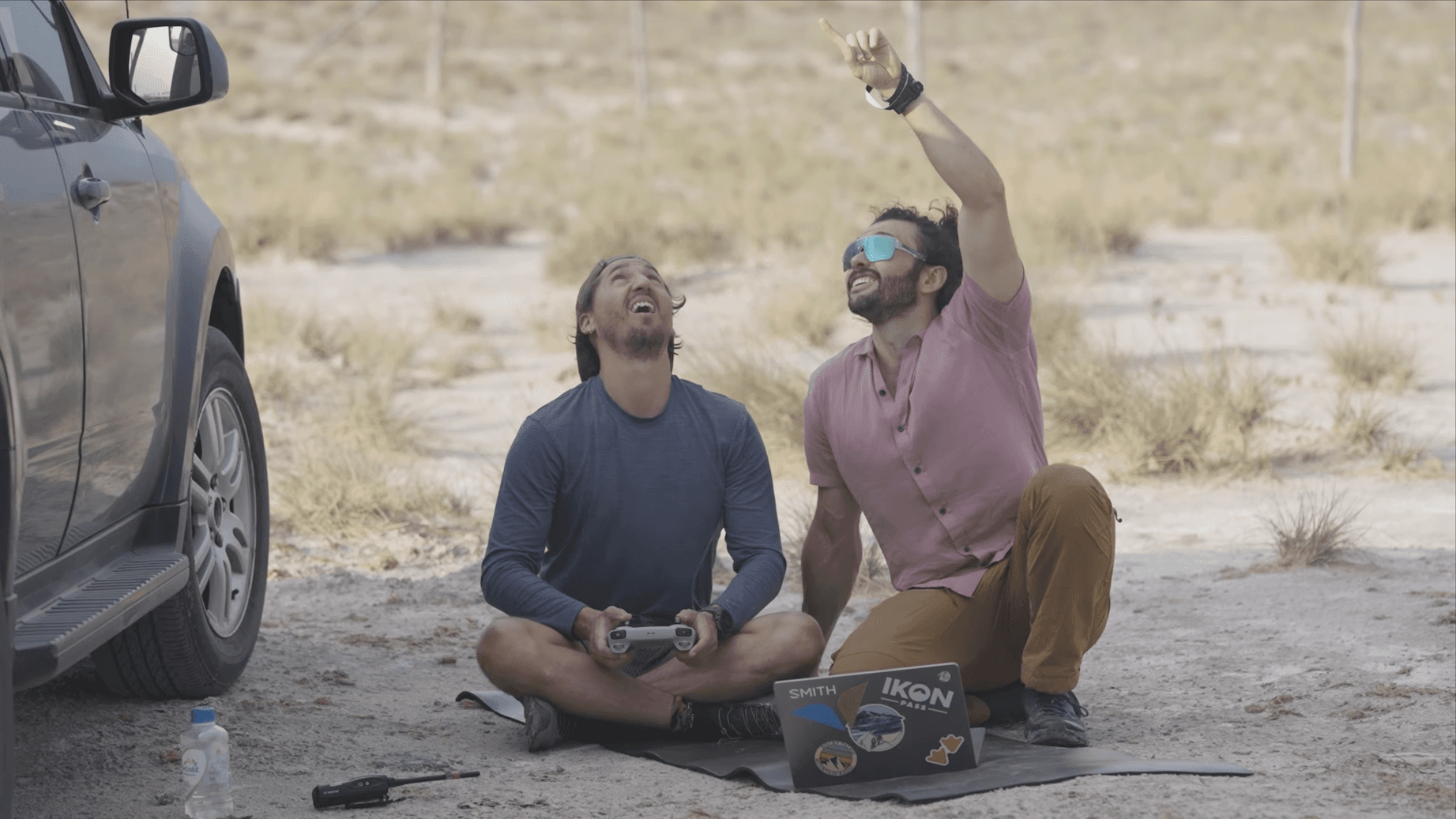
Photogrammetry helped translate place into presence. By flying drones over select sites and reconstructing them in three dimensions, the team created scenes that preserve terrain, contour, and spatial relationship in ways a flat image cannot. The result is a more immersive form of journalism, where the audience can better understand scale, orientation, and the physical context in which the story unfolds.
This project was made possible by the generosity, expertise, and collaboration of many people.
We are especially grateful to scientists and institutions in Mexico, including UNAM and Cinvestav; to our collaborators at CONANP in Cuatro Ciénegas — Cristino Villarreal, Fernando Gloria, and Francisco Zamorano — and to Héctor Arocha and his team at Génesis Lab for their support in the field, in research, and in the development of this work.
The narrative took a turn after Professor Castillo from the ejido of Cuatro Ciénegas shared his story, and we are immensely grateful.
On the project and production side, we thank Benjamin Soto, Andres Moreno, Elizabeth Rosenbloom, Claudio Ortega, and Shehab Waleed for their contributions across data collection, operations, website design, and implementation.
We also appreciate the National Geographic Explorers and members of the National Geographic Cartography team whose guidance shaped the research, planning, and realization of the project. Finally, we thank the teams that provided the tools and guidance that helped bring the story into form, including software and data from Esri, Fused, Impact Observatory, Cecil, and Metashape.
.jpg&w=3840&q=75)
Photo Gallery